Blog Posts
2017 Nitrate: Iowa River at Wapello
Friday, July 6, 2018
Nitrate concentrations of the Iowa River at Wapello, 2017.
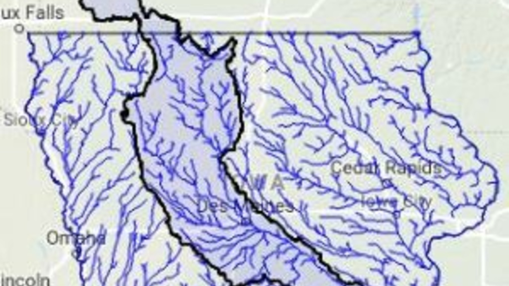
Iowa Stream Nitrate 2017: Des Moines River
Friday, July 6, 2018
These summaries are an aggregation of IIHR and USGS water quality sensor data, Iowa DNR ambient monitoring data, and USGS discharge data.

Raccoon and Des Moines River Nitrate: 2017 overview
Friday, April 13, 2018
An overview of the 2017 NO3-N totals.
Billions and Billions
Thursday, November 16, 2017
As we go about our regular lives, a billion of anything seems like a whole lot. For example, if you need to count a billion things, it’s going to take a while. An 80-year lifespan would include only 42 million seconds, not even close to one billion (0.042).
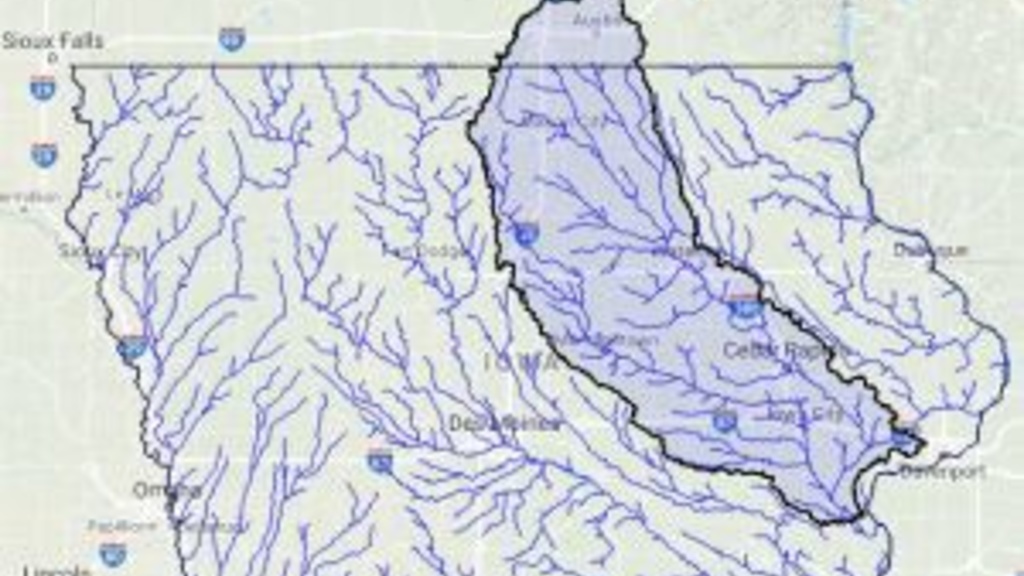
2017 Nitrate: Turkey River
Monday, July 17, 2017
Nitrate concentrations of the Turkey River in 2017.

Climate Change and Stream Nitrate
Monday, July 17, 2017
Year to year variations in nitrate loads (total mass delivered to streams) are really driven by precipitation and discharge, and the effect is not linear.
Raccoon River nitrate: Jan-Jun vs Annual
Wednesday, July 12, 2017
The graph below shows Raccoon River nitrate loads (metric tons) from January through June (blue bars) versus the annual load (red bars).
April Historical Nitrate: Raccoon and Des Moines Rivers
Thursday, June 8, 2017
Just posting some graphs of recent data here of the last two months and historical perspective.
Economics of reducing nitrate loss
Friday, May 26, 2017
More than 90 percent of the nitrogen transported by Iowa streams is in the form of nitrate (NO3-N).
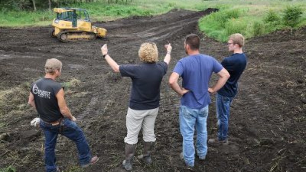
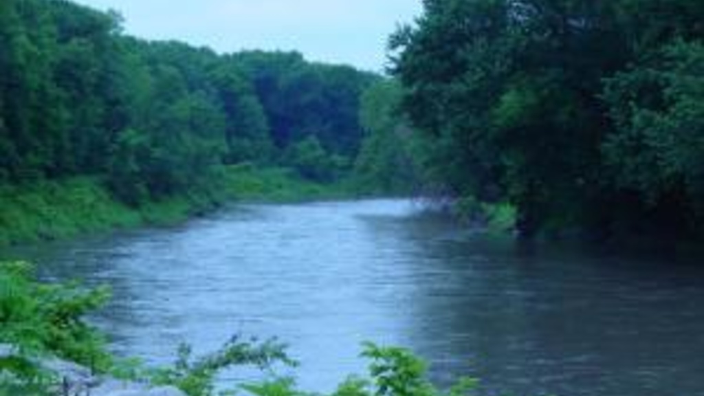
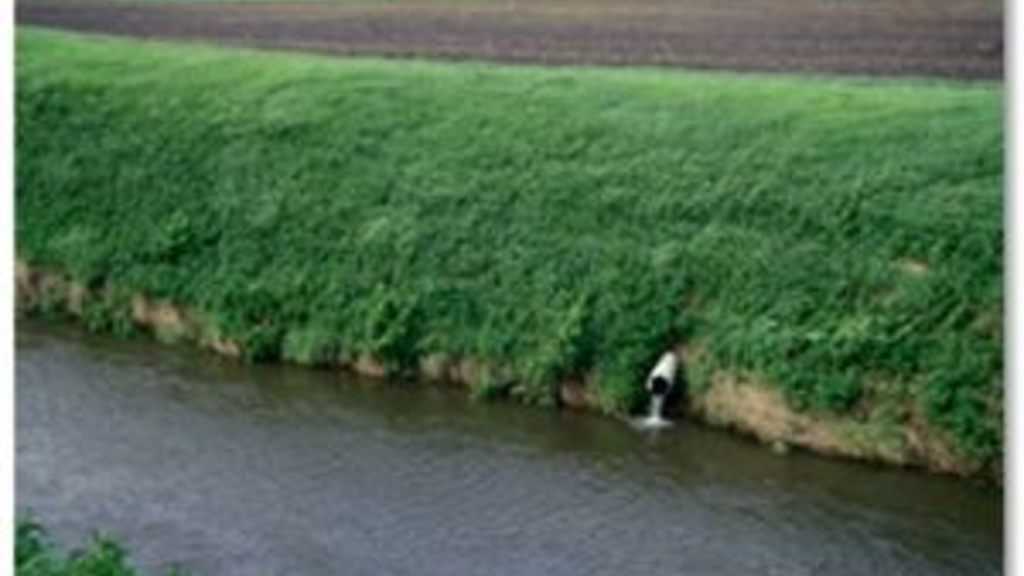
Morgan Creek Oxbow Restoration
Thursday, May 18, 2017
When Iowans straightened rivers and creeks in the 20th century, they likely didn’t understand the chain reaction they had set in motion. They simply wanted to make their land easier to farm. But according to IIHR Research Engineer Chris Jones, the straightened dredge ditches of today are disconnected from the floodplain and have lost much of their ability to process nutrients. The water moves faster, eroding downward and increasing the flood risk downstream.